At the veiled edge of the map
The islands whose silence is part of the record
The Veiled Wings are marked by ridges, broken islands and sea mist. Their uncharted interior is not an invitation to invent certainty.
← All world notes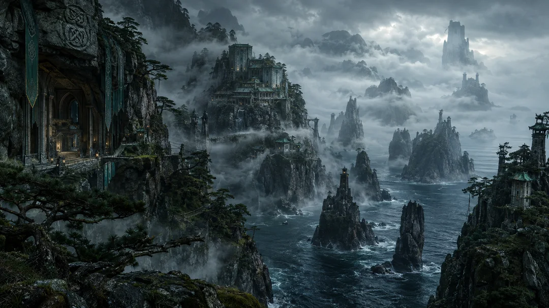
What the map actually shows
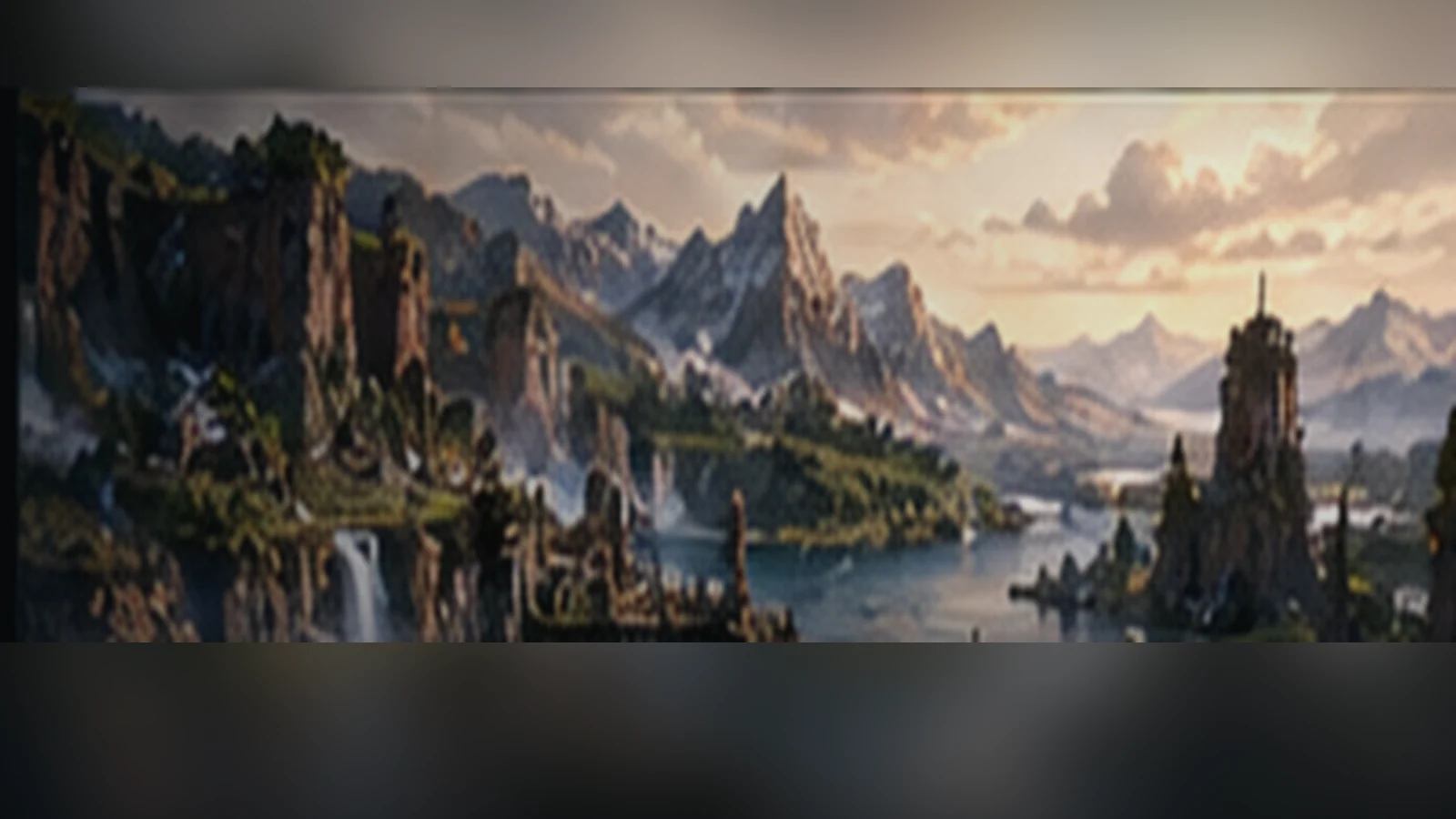
On the northeastern edge of the known continent, long ridges break into islands, cliffs and narrow arms of sea. That outline is enough to give the Veiled Wings a recognizable geography. Fog and distance complicate the view; neither provides verified roads or the name of a settlement beyond the present record.
A convincing atlas does not have to answer every question. Showing the coast with a clear status label lets the map remain useful even where the supporting history is incomplete.
Respect the empty space
Older concepts describe island customs and knot-related architecture. They may offer intriguing art direction, but they are not a license to declare a named population, a specific religious practice or a political system established fact. Proposed structures should be shown as concept studies, not as historical documentation.
The distinction also protects future stories. A striking illustration is not evidence of an unreleased event, and the novel and ARPG cannot borrow one another’s plots simply because they share the same coastline.
An honest invitation to explore
The cliff line, misty sea lanes and broken ridge are the publicly grounded starting points. Visitors can examine the landscape, follow a labelled concept study and return to the world atlas knowing exactly which information is established and which remains open.
The most interesting question here may be what the map does not yet allow us to say. That restraint makes the world larger rather than smaller.
Editorial source basis
These documents inform this reading; art direction is not a new canon decision.
- MYRHA map
- KARTE_PRUEFUNG_UND_BESCHRIFTUNG.md
- MYRHA_Art_Bible_v2