01 / 04
MEMORY & HISTORYWHAT THE REGION REMEMBERS
The available public sources leave the interior largely unspecified. Older design notes mention peoples and traditions at the map edge, but their publication status must be checked before they become public canon. This page distinguishes known boundaries from legend and speculation.
02 / 04
LANDSCAPE & ROUTESTHE LAND UNDERFOOT
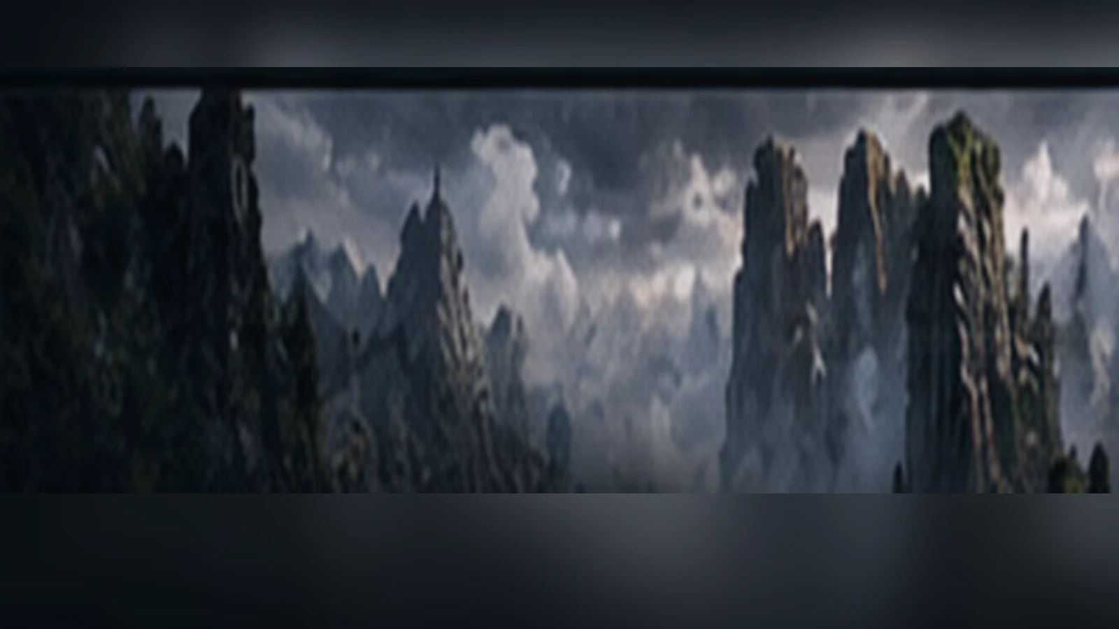
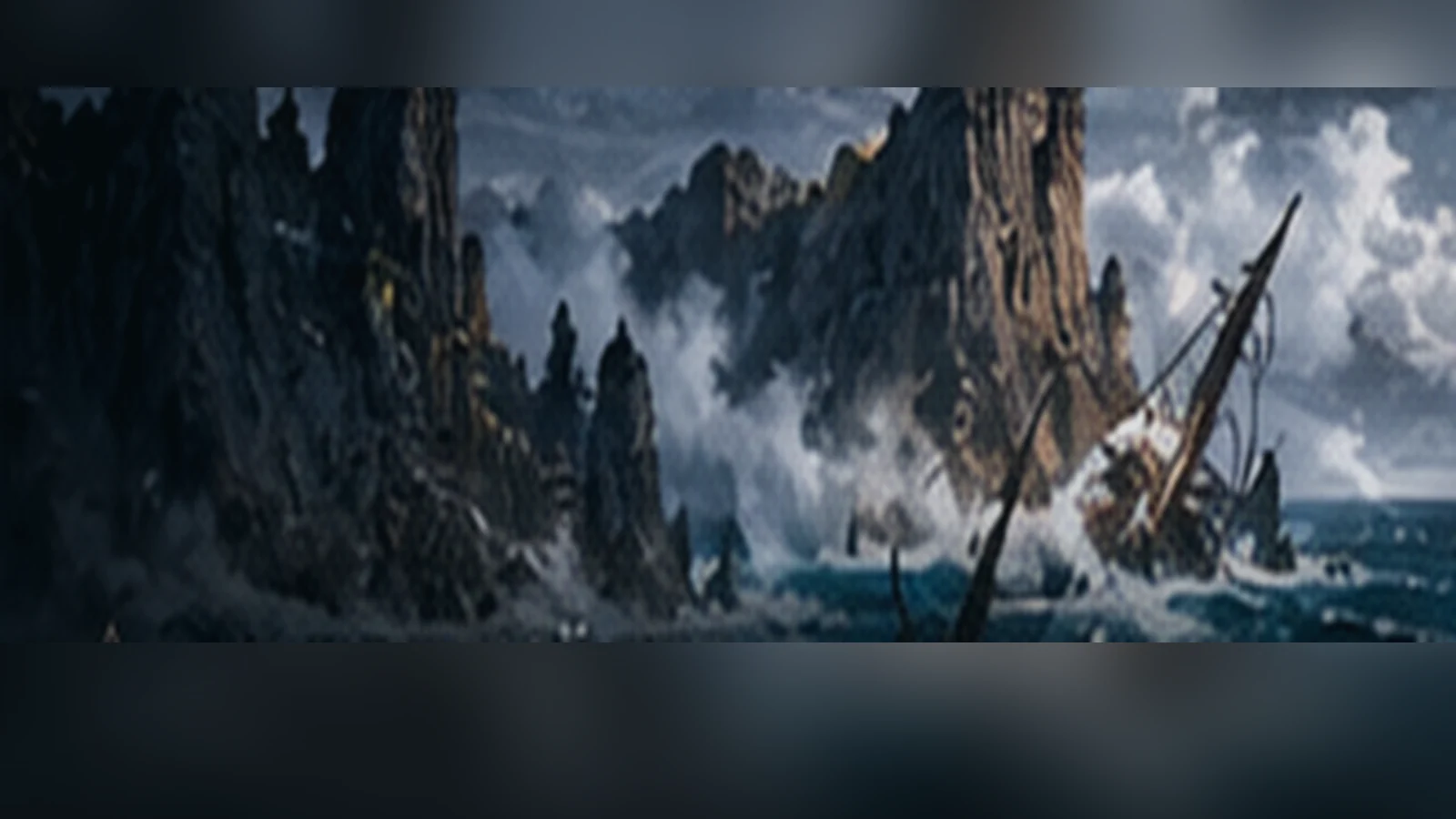
Long mountain lines break into cliff-bound islands and narrow water fingers. Mist reduces the visible coastline to alternating silhouettes. Distances and routes are not reliably established, so the map deliberately avoids a fabricated itinerary.
03 / 04
PEOPLES & CUSTOMSLIFE IN THIS PLACE
No complete account of settlements or political authority has been confirmed for publication. The region is treated as a frontier of knowledge: the archive can show its existence while leaving its inhabitants unlabelled until approved sources are available.
04 / 04
FLORA & FAUNATHE LIVING LAND
The atlas supports cold, exposed cliff and island habitats. Detailed species lists are not yet canonical public material. Future flora and fauna entries should be linked only after the source documents have been checked.