Following the Naeril
A river as a way of reading Shoan
From Baisu's timber landings to the rising valley beyond Renmai, the Naeril reveals how work, travel and memory shape Shoan.
← All world notes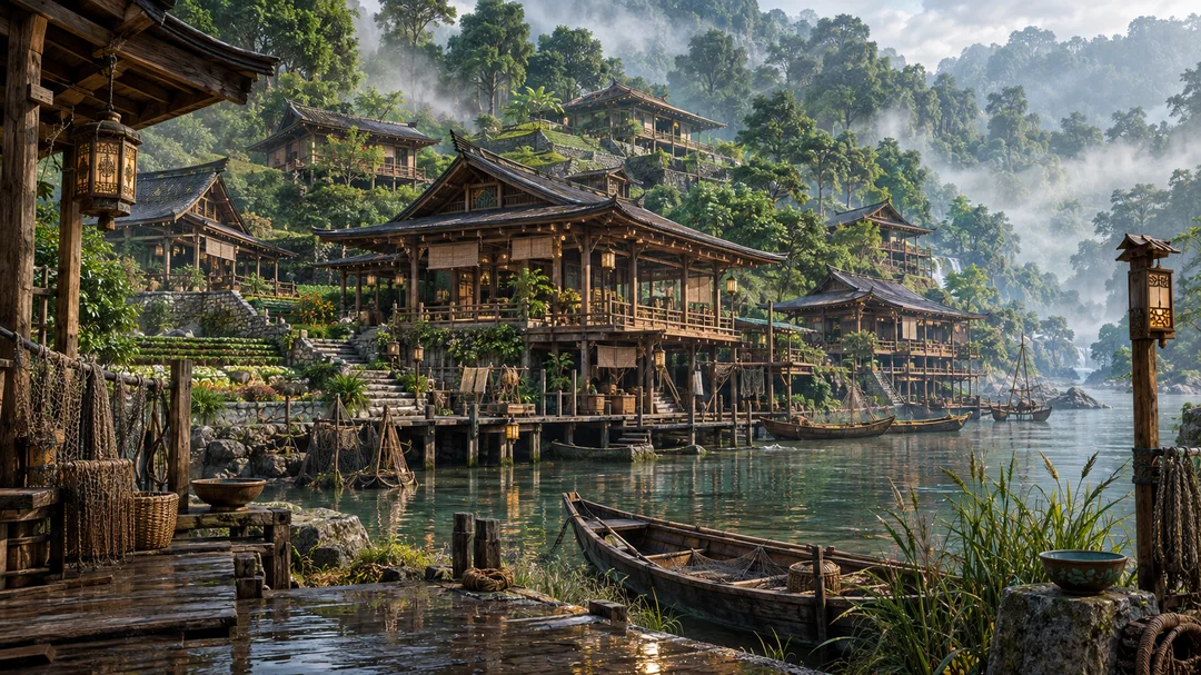
Start with the water
A map gives the Naeril a line. At river level, the line becomes a sequence of practical decisions. Where can a boat land? Which bank offers passage when rain has lifted the current? How far can a load be carried before timber stairs yield to rock? Baisu makes these questions visible in its modest riverfront: landings, ropes and the labour of moving goods.
The water is not scenery added behind the houses. It is a reason for the houses to stand where they do. A visitor who begins here encounters Shoan through work rather than through an imagined royal court.
Upstream is not merely farther away
Renmai lies upstream from Baisu. That direction matters: the river connects the communities, but it does not make their trades or their relationship to the landscape identical. Timber workshops and hillside paths belong to a different scale of movement than mooring a boat on the lower landing.
The valley changes as it climbs. Terraces hold soil; roofs answer the rain; paths choose between water and slope. The route is best understood as an inhabited corridor, not a string of interchangeable picturesque villages.
The heights keep another kind of memory
Above the ordinary life of Shoan stands the Tomb of the Green, a place of roots, stone, white blossoms and a long vigil. The tomb should not be mistaken for another stop in a cheerful sightseeing tour. Its significance is different from the river settlement below.
This is the first discovery principle of MYRHA: geography connects places without making every place serve the same story. The novel and the ARPG take separate narrative paths through this shared world. The river belongs to both; the events of one storyline do not automatically belong to the other.